Urbfor Consulting Ltd. uses Unmanned Aerial Vehicle (UAV) / drone technology to assess stand and tree health, form, and structure on private, municipal, and provincial crown land.
What you’re seeing in the video
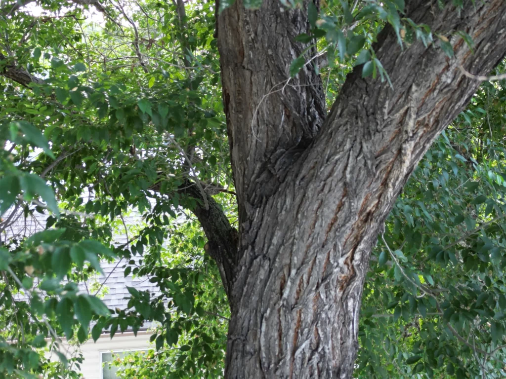
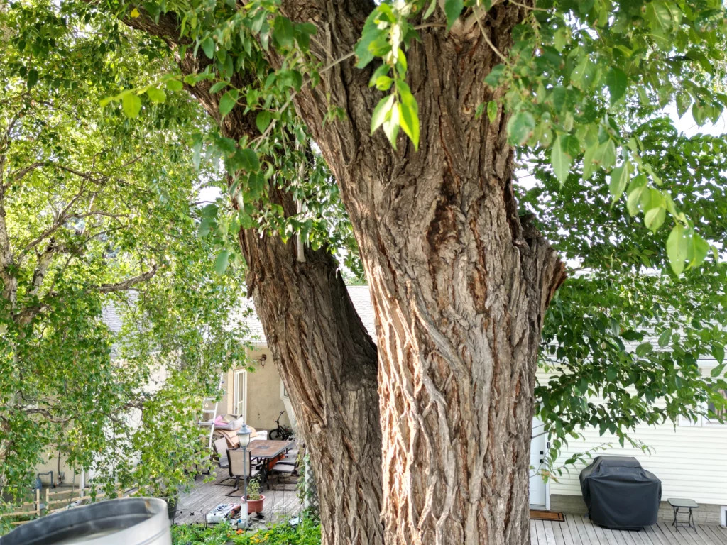
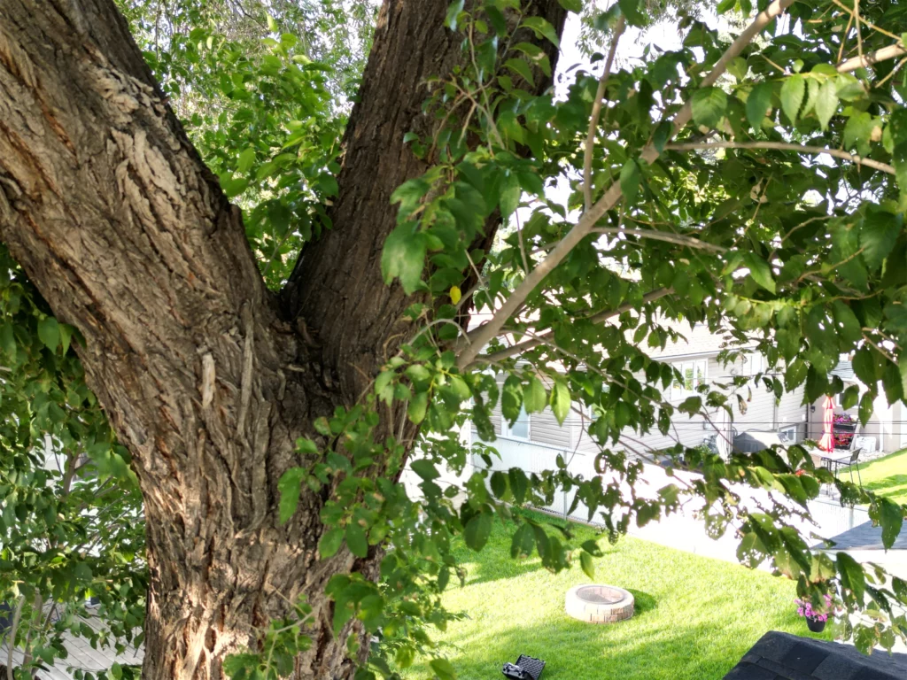
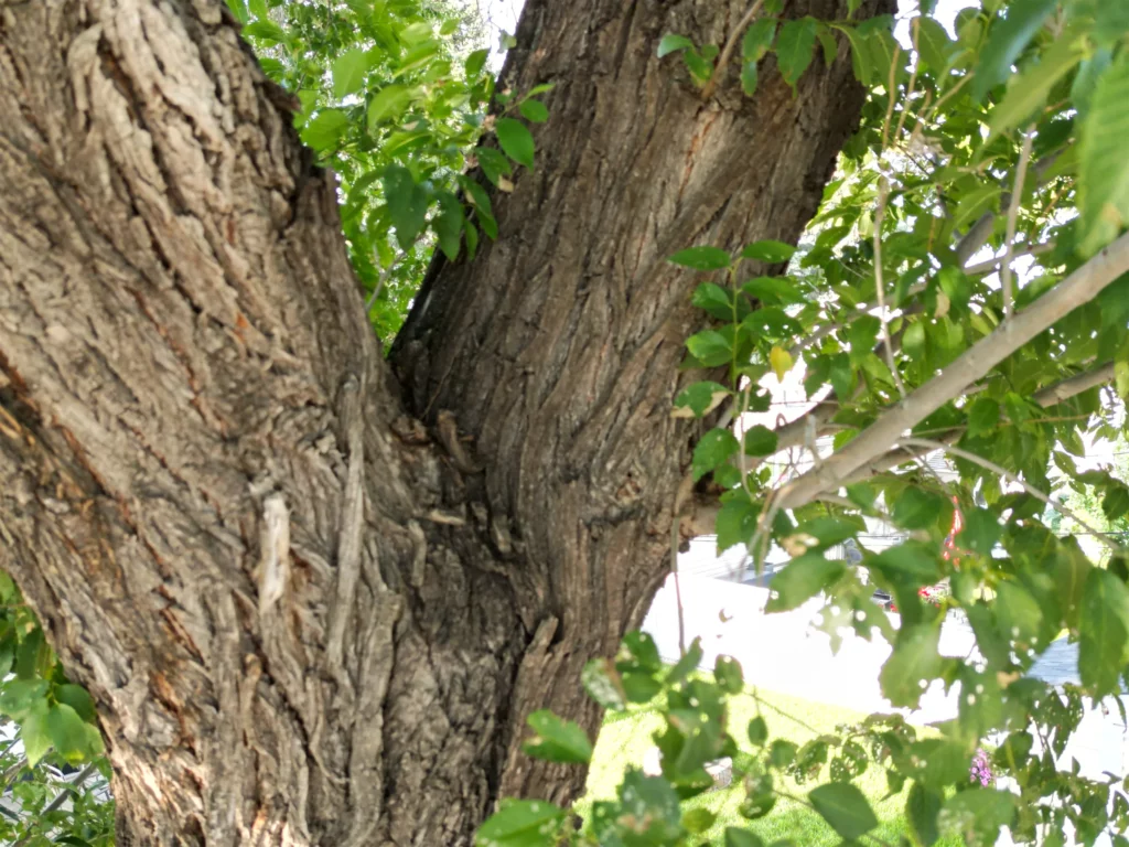
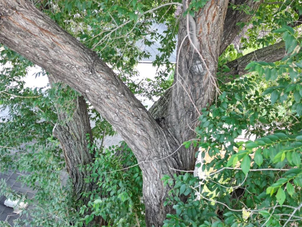
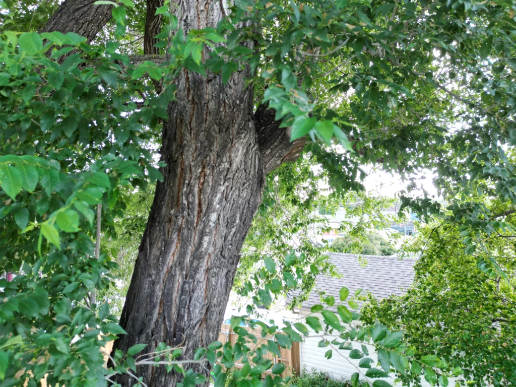
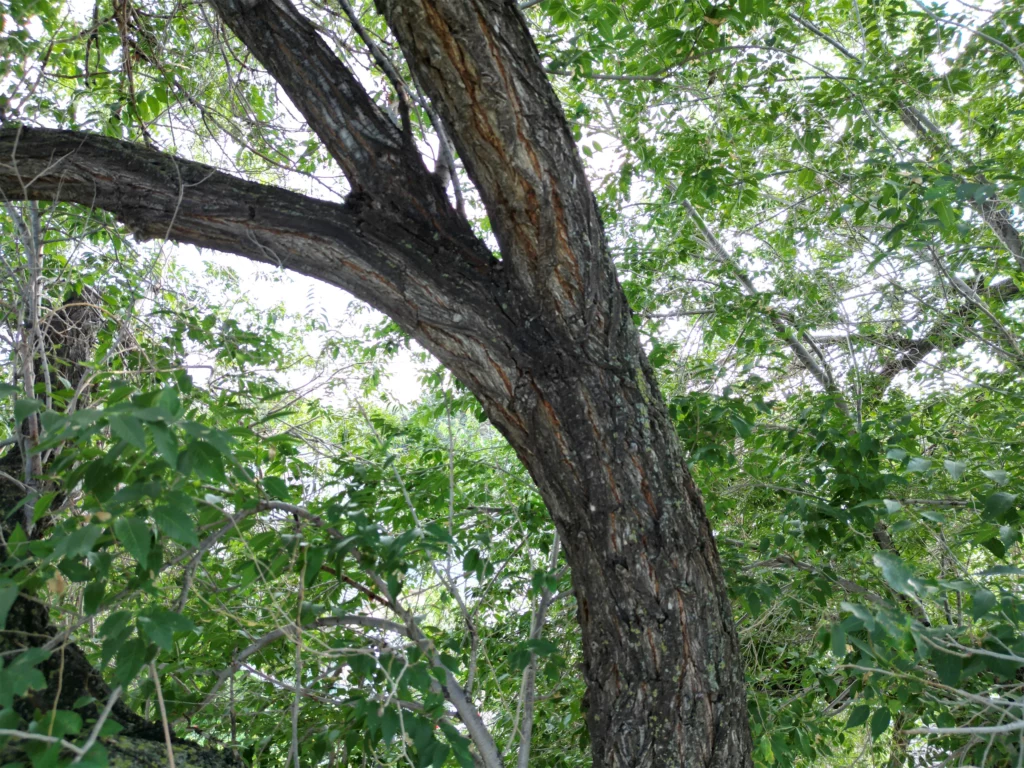
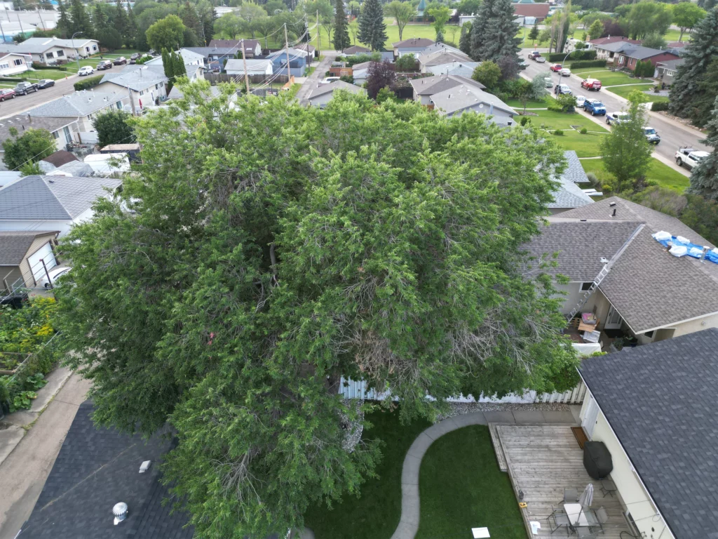
In this video, a DJI Mini Pro 3 was used to capture the crown condition of a mature elm in July, enabling assessment of:
- Crown symmetry, overall height, and height to live crown
- Extent and location of dead crown
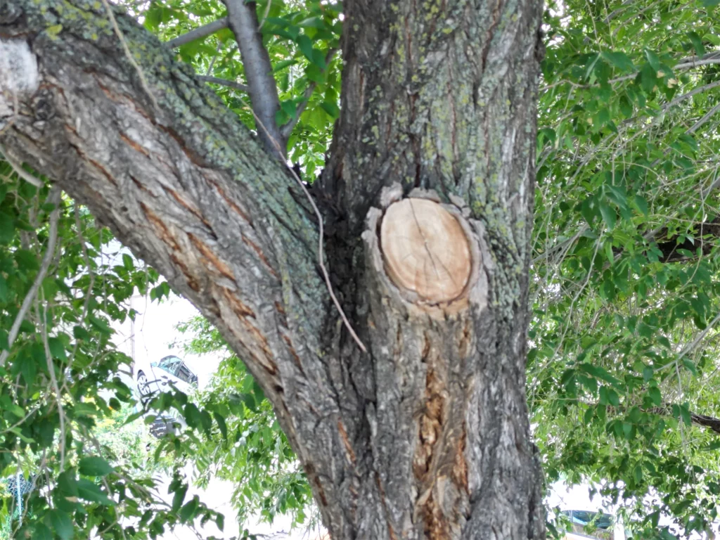
- Number and relative size of codominant stems
- Signs of insect and/or disease agents
- Static/mobile targets on and adjacent to the property
Why aerial crown inspection matters
A drone can safely reach and document upper-crown conditions that are difficult to evaluate from the ground, supporting more confident decisions when risk is uncertain.
Insured and compliant operations
- Drone operations are insured for aviation liability and commercial use up to $2 million per occurrence.
- Landowner permissions are obtained in writing prior to flight operations.
- All pilots are certified by Transport Canada.
Qualified arborist expertise
This service is delivered by Urbfor’s ISA (International Society of Arboriculture) Certified Arborist who is also Tree Risk Assessment Qualified (TRAQ).
Advanced Risk Assessments
Urbfor primarily uses drones to support Level 3 Advanced Tree Risk Assessments. Level 3 assessments are the most comprehensive and detailed type of assessment, used when a lower-level assessment is inconclusive or when severe risk is suspected, and they go beyond a basic visual inspection
Why drone-enabled assessments help clients
-
- Creates a permanent record of crown condition that can be shared with the client
- Enables still images of specific structural defects or insect/disease occurrences
- Supports justification for tree-specific follow-up care, including:
- Diagnosing insect or disease agents
- Confirming presence/extent of decay
- Pruning specifications (branches to remove / extent of dead crown)
- Exact cabling locations/specs (static or dynamic systems)
- Bracing options (exact height for bracing)
- Full tree removal planning (rigging points and drop zones)
- Improves assessment of potential targets (residences, garages, sheds, high-value features, light poles, utility lines, etc.)
- Enables comparisons over time or after major storm events to track changing condition
Safer than climbing compromised trees
Using drones with qualified, well-trained pilots can be safer than climbing individual trees that may be compromised and could fail.
Cost-effective, fast to deploy
Drone technology can be a cost-effective alternative to climbing with cameras. Drones are easy to deploy and can get above the crown for an immediate, overall assessment, with the resulting video/images used to discuss findings on site and justify any required remedial work.
Request a drone-assisted tree risk assessment
Contact Urbfor to discuss whether a Level 3 Advanced Tree Risk Assessment is appropriate for your site and your trees.